About
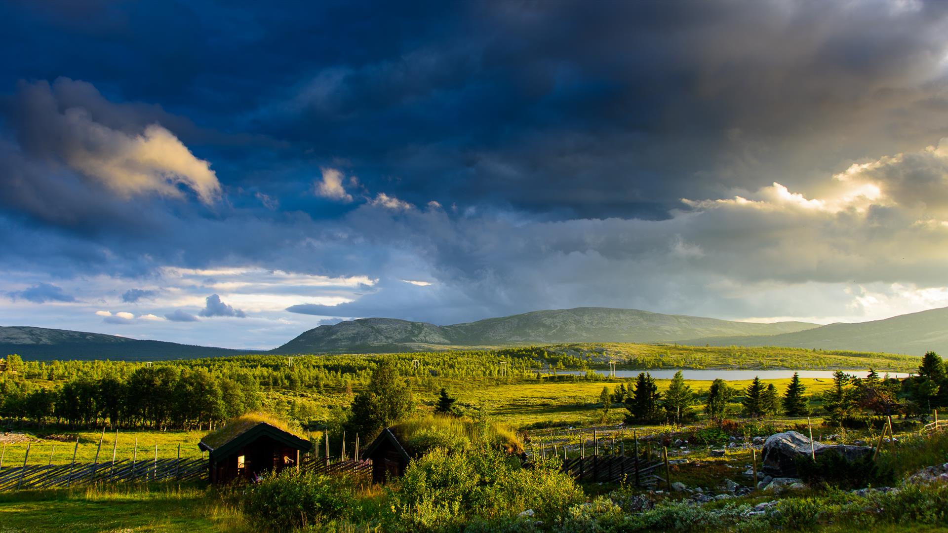
To fully understand Ibsen’s inspiration for Peer Gynt, the 60 kilometre Peer Gynt Road running from Skei via Gålå to Espedalen is a must. Enter the mythical country of Peer Gynt and the kingdom of the trolls as you (carefully) follow this gravel road, which provides stunning panoramic views at every turn, on this, the main mountain road through the Gudbrandsdalen Valley. You will not be surprised to learn that the road is only open in summer – but if the weather is fine, the experience is unforgettable.
The toll road swiftly climbs up to 1053 metres and passes by the now well-known Solbra-Seter farm, where Gudbrandsdalen Brunost, is home of the traditional Norwegian whey cheese. Despite the short distance on paper, don’t be misled into thinking this will be a quick trip – it isn’t, but it is an immensely gratifying one – especially if you allow a full day to make the most of your journey. Take the advice of those in the know, and take plenty of opportunities to stop along the way and experience the many tracks and trails leading into the spectacular natural landscape. You won’t regret it.
The Peer Gynt Mountain Road is open in the summer. The road opens up around June 1, as soon as the snow is gone. It closes again late in autumn when the snow once again covers the mountains.
Skei is situated at the southern end of the Peer Gynt Mountain Road and is a tourist town with lots to do and see, only about half an hour’s drive from Lillehammer. Skei is prominent by the dominant Skeikampen mountain (1,123 m. above sea level).
Fagerhøi: We are now leaving Skei, and travelling into the realm of Peer Gynt, passing Nisjuvatna, Dørdalen, Dørdalsknappen (1126 m.a.s.l.) and are approaching Fagerhøi. A magnificent view of the Jotunheimen to the west and the Rondane mountains to the east. Straight ahead are the mountains of Ruten and Heidalsmuen. At Fagerhøi there are numerous places to go fishing, hiking and biking. On the way to Gålå we pass the viewpoint of Listulhøgda(1053 m.a.s.l.) which is the highest point of the road.
Gålå - Fefor: There are many things to do and see in Gålå, for example the Solbrå Seter (alpine pasture farm) Museum where the famous Gudbrandsdal cheese was first made in1863. At the beginning of August, a performance of Henrik Ibsen’s «Peer Gynt» with music by Grieg is arranged at the outdoor arena by Gålåvatn lake. On the way to the Espedalen valley, we pass the Hattdal valley and the Rutenfjell mountains (1,517 m. above sea level).
Espedalen - our friendly wilderness with unique flora and an exciting cultural past with remains from the mining operations started here in the 17th century. The works area with Espedalen mountain church. «Helvete» (Hell) potholes.
Skåbu: You can drive to Skåbu from Espedalen and carry on to the Jotunheimen road (toll road) to Bygdin. In Skåbu we recommend you visit Krogenæskjelleren. There is a tourist information office, crafts outlet and a local history exhibition situated here. Skåbu church. Shop and petrol station.
From Skåbu, you can drive to Vinstra, Harpefoss or follow the Rv 255 road down to Gausdal and Lillehammer. We recommend a visit to Karoline and Bjørnstjerne Bjørnsons home, Aulestad, in Follebu.
Toll Road
The Peer Gynt Mountain Road is a toll road, with 4 toll stations, one at each entrance. The Skei and Gålå are automatic, therefore you may pay with cash or credit card. The stations at Fefor and in Espedalen are self-service and at these locations cash is only valid payment. A Season’s pass is also available - please see our web-site for information. For updates on prices: please contact the local tourist office or see our web-site
Facilities
Season
- Summer
.png)
.png)


