To provide you with the best experience, cookies are used on this site. Find out more here.

Allow cookies

Sukkertoppen (8 km)

Product Image
  • Product Image
  • Product Image
  • Product Image
  • Product Image
  • Product Image

About

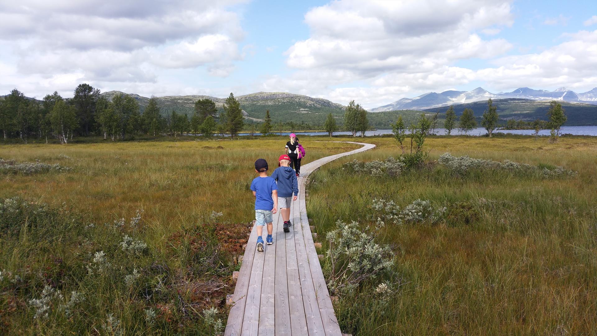
With only 4 km each way, the Sukkertoppen peak is an achievable destination for all age groups.                                                                                               
All roads lead to Rome – and also to Sukkertoppen. Well, at least three… Popular routes that we will do our best to describe.

All three have Rondablikk as starting point.

1) Via Sildtjønnlia
Start by Rondablikk, and pick up Peer Gynt seterveg by Bjørgebu. Follow this for approx. 1.5 km, and then turn right and continue up Sildtjønnlia. Follow the dirt road up the hillside for approx. 1 km, and then follow signs for Øvre Sildtjønnlia until you the road ends and the trail starts. This section leads through relatively dense forest, but the trail is visible and easy to follow. If you enjoy cycling and have the energy, bring your bike. As you get up into the mountain, the cycling terrain is superb! After some 500 m and a steep climb, the landscape opens up and the trail levels out slightly. However, is still uphill all the way to the top. Follow the trail for two kilometres, and you will reach the Sukkertoppen peak – 1,213 m above sea level. The route via Sildtjønnlia is the shortest way up, but it is also the steepest.

2) Via Bjørgebu and Villmarksleiren wilderness camp
With Rondablikk as starting point, follow the main road past Bjørgebu and turn onto Sukkertoppråket by the campsite. Continue up past the cabin area, and take the trail by Årvillingshaugane after approx. 1.3 km. The first section is forest and marshland, but you will reach high-mountain terrain after only 700–800 metres. Along the way is a wilderness camp with woodland shelters – the ideal spot for a break. As you continue uphill, you will reach a small marsh that can be muddy. If the summer has been wet, it may be wise to bring a pair of dry socks in your backpack. Follow the trail for approx. 2.5 km, and you will reach the Sukkertoppen peak. The route via Bjørgebu and the wilderness camp is probably the least steep, but remember that it is still uphill.

3) Via Rondaplassen
With Rondablikk as starting point, follow the main road/Rondablikkvegen for approx. 1 km to Rondaplassen (on you right), and then turn left onto Sukkertoppråket. Follow the dirt road for approx. 600 m, and then pick up the trail towards Sukkertoppen. Continue uphill through woodland and across marshes for approx. 1 km. In early summer and during periods of heavy rainfall, you may have to cross a few small streams. The landscape then becomes mountainous, and you have reached the Sukkertoppen peak – only three kilometres from Rondaplassen. This route via Rondaplassen offers a varied forest and mountain scenery, but it is also the trail with the most marshes.

You can either follow the same route back, or try one of the other options. It is also possible to extend the trip and continue to Tjønnseterfjellet and across to Krøkla – or walk back down via Jomfrulia. The choices are many, and bringing a map and compass is recommended.

At the top, 1,213 m above sea level, you can enjoy stunning views of three national parks: Rondane National Park, Jotunheimen National Park, and Langsua National Park.

Remember to bring a change of socks and a windproof jacket in your backpack.
 

Facilities

Age limit

  • adult
  • children

Duration

  • 1 hour

Grading

  • easy

Nature and terrain

  • forest area
  • mountain
  • small path

Season

  • June - October

Get in touch

Tel: 61289800

Rondablikkveien 1208
2642 Kvam

Add Sukkertoppen (8 km) to your Itinerary

What's Nearby

  1. Skjemtjønna Round (8 km)

    The ultimate family trip where even the very young can come along on a scooter or in a…

    0 m away
  2. Furusjøen Round (18 km)

    With Rondablikk as starting point, this trip is as spectacular by foot as it is by bike.

    0 m away
  3. Rondablikk - Krøkla (20 km)

    If you enjoy an uphill challenge, this is the trip for you. The route follows Peer Gynt…

    0 m away
  1. Hove round, short trip (6 km)

    This is a trail suitable for all! Ideal for young children who would like to ski the full…

    210 m away
  2. Hovde round, long trip (12 km)

    A varied cross-country ski trip through a spectacular area of outstanding natural beauty…

    253 m away
  3. Furusjøen Rundt (45 km)

    Follow the route for the Furusjøen Rundt ski race around Kvamsfjellet – the gateway to…

    715 m away
  4. Shorttrip Rafting in Sjoa | Go Rafting Sjoa

    A rafting taster experience which often creates a desire for more. Participants always…

    16.15 km away
  5. Sjoa Double | Go Rafting Sjoa

    Her får du Norges lengste fulldags raftingtur!

    16.15 km away
  6. Rafting in Åsengjuvet | Go Rafting Sjoa

    This is the ultimate experience for the more adventurous rafter.

    16.15 km away
  7. Bridge swing | Go Rafting Sjoa

    A genuinely adrenaline-fuelled activity: Imagine standing at one end of the bridge,…

    16.15 km away
  8. 50/50 | Go Rafting Sjoa

    The perfect combination for everyone short of time but with plenty of energy!

    16.15 km away
  9. Canyoning | Go Rafting Sjoa

    Canyoning has its origins in the alps, but the northern part of Gudbrandsdalen also…

    16.15 km away
  10. Daytrip on Sjoa | Go Rafting Sjoa

    Definitely our most popular rafting adventure - suitable for all!

    16.15 km away
  11. Family rafting | Go Rafting Sjoa

    Close to Sjoa flow a further two rivers, Ottaelva and Gudbrandsdalslågen, and both are…

    16.15 km away
  12. Riverboard | Go Rafting Sjoa

    If you think you can swim, try riverboarding!

    16.15 km away
  13. Caving | Go Rafting Sjoa

    A challenging and unique adventure, suitable for everyone with a desire to explore -…

    16.15 km away
Previous Next

Plan your trip

  • Things to Do
    Search

  • Accommodation
    Search

  • What's On
    Search

  • Food & Drink
    Search

Search Things to Do

Eco-certified providers
Type:
Location:
Location
Name / Keyword:

Search Accommodation

Eco-certified providers
Type:
Location:
Location
Name / Keyword:

Search What's On

Eco-certified providers
Type:
Location:
Location
Name / Keyword:
Dates

Search Eating & Drinking

Eco-certified providers
Type:
Location:
Location
Name / Keyword:

Plan your trip

Search Things to Do

Eco-certified providers
Type:
Location:
Location
Name / Keyword:

Search Accommodation

Eco-certified providers
Type:
Location:
Location
Name / Keyword:

Search What's On

Eco-certified providers
Type:
Location:
Location
Name / Keyword:
Dates

Search Eating & Drinking

Eco-certified providers
Type:
Location:
Location
Name / Keyword: