To provide you with the best experience, cookies are used on this site. Find out more here.

Allow cookies

Sæterrunden (18 km)

Product Image

About

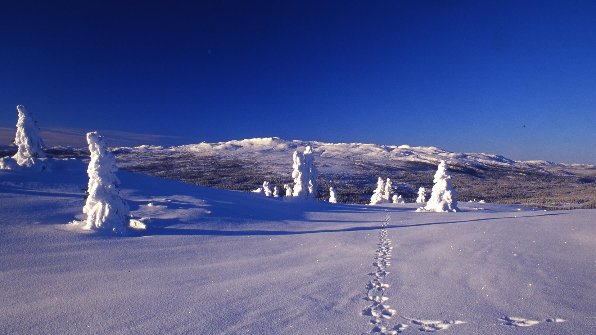
Sæterrunden is a round-trip through varied, hilly terrain. From 800 m to its highest point of 900 m, the trail leads through woodland, along roads, across marshes, and all the way up into the mountain towards the Spåtindtoppen peak.  This is a trip suitable for all, with both short and long options available.

From Krokhølen at 800 m, the trail leads south across marshes, through the forest, and on to its first climb to Aasætra cabin complex. Continue straight ahead for approx. 1 km, and you will reach 900 m altitude.  The trail enters a bend, and continues across marshland and through the forests to the road. It then continues across Synnfjellvegen and through the forest up to Endeløsmyrene at 850 m. After crossing Klemosæterhøgda, it reaches the trail junction at Klemosætra. Continue across the marsh, and then turn left down towards Krokhølen.


Several routes and trails linked to Sæterrunden
Sæterrunden offer several opportunities to add on some extra distance. Turn right at Aasætra cabin complex, and you can continue across vast marshland leading up to the mountain and the Spåtindtoppen peak. If you then turn right onto the Strangsæterunden trail, you will return to Krokhølen. This round is approx. 10.5 km, and has some challenging downhill sections. An alternative is to follow the trail from Aasætra towards Spåtindtoppen, but then turn left after approx. 1 km and continue to Hugulia.
 
Some 2 km after Endeløsmyrene, there is an option to turn left and descend to Synnfjellporten. If you continue towards Klemosæterhøgda, you will have joined the Krokhølrunden trail. You can then turn left and get down to Krokhølen through the cabin area. If you opt to follow Sæterrunden, you will reach the trail junction at Klemosætra. The trail continues across the marsh, and then reaches the climb to Skjervungfjellet where you can follow the Kvenlirunden trail. 

Facilities

Activities

  • prepared trails in vicinity

Get in touch

Tel: 61289800

Krokhølen
Synnfjellvegen
2880 Nord-Torpa

Add Sæterrunden (18 km) to your Itinerary

What's Nearby

  1. Spåtind 1414 - 20 km

    Trail leading from Krokhølen in Synnadalen (800 m) and up to Spåtind (1414 m).

    0 m away
  2. Spåtind 1414 m a.s.l.

    At 1414 m above sea level, Spåtind is the highest peak in Synnfjell and is a popular…

    8.37 km away
  3. Dokkfløy Rundt (35 / 25 km)

    With Synnfjellporten as starting point, the route runs on dirt and tarmac roads, and is…

    8.37 km away
  1. Synnfjellporten - Hugulia - Lenningen - Synnfjellporten (85 km)

    With Synnfjellporten as starting point, follow route 196 a few hundred metres to the…

    8.42 km away
  2. Shortest way to Spåtind 1414 - 8,9 km t/r

    Are you in Nord-Torpa you must experience this mountain. Synnfjellet is great, and here…

    11.82 km away
  3. Skjervungfjellet 1098 m a.s.l.

    Skjervungfjellet is located east of Synnfjorden, at the very top of the Synnadalen…

    14.50 km away
  4. Spåtind Fjellstue– Lenningen – Leppdalen – Dokka 60 km

    With Spåtind Fjellstue as starting point, follow route 196 to Oppsjøkrysset.

    14.55 km away
  5. Spåtind Fjellstue – Lundssætrene – Lenningen – Spåtindtoppen – Krokhølen – Spåtind Fjellstue 45 km

    From Spåtind Fjellstue at 850 m, there is a trail that runs via Lundsætrene and on to…

    14.57 km away
  6. Spåtind Fjellstue- Skjervungsrunden/Rokvamsætra 7,5/14,5 km

    Skjervungsrunden is a gentle, pleasant trip through breathtaking scenery in the heart of…

    14.57 km away
  7. Spåtind Fjellstue- Hols Bru - Liomseter 30 km

    With Spåtind Sport Hotel as starting point, follow route 196 to Oppsjøkrysset.

    15.20 km away
  8. Bicycle ride around lake Dokkfløyvatnet in Gausdal Vestfjell (30 km)

    A long trip on a quiet dirt road from Holsbru on the western side of lake Dokkfløyvatnet.

    19.68 km away
  9. Røssjøkollane 1287 m a.s.l.

    Røssjøkollane comprises three peaks set in an open landscape in Langsua National Park.

    20.29 km away
  10. Snuen 1179 m a.s.l.

    Snuen can be found north-west of Oppsjøkrysset, and is an easily accessible rounded…

    21.05 km away
  11. Ormtjernskampen 1128 m a.s.l.

    Ormtjernskampen National Park was the smallest of its kind in Norway until it became part…

    21.29 km away
  12. Mount Værskei (9,4 km)

    Good climbing stage, with minimal traffic and numerous hairpin bends. Race stage in…

    21.98 km away
  13. Bjørnsons road

    Leave the E6 north of Lillehammer or at Vinstra (Gudbrandsdalen), and you will find…

    22.14 km away
Previous Next

Plan your trip

  • Things to Do
    Search

  • Accommodation
    Search

  • What's On
    Search

  • Food & Drink
    Search

Search Things to Do

Eco-certified providers
Type:
Location:
Location
Name / Keyword:

Search Accommodation

Eco-certified providers
Type:
Location:
Location
Name / Keyword:

Search What's On

Eco-certified providers
Type:
Location:
Location
Name / Keyword:
Dates

Search Eating & Drinking

Eco-certified providers
Type:
Location:
Location
Name / Keyword:

Plan your trip

Search Things to Do

Eco-certified providers
Type:
Location:
Location
Name / Keyword:

Search Accommodation

Eco-certified providers
Type:
Location:
Location
Name / Keyword:

Search What's On

Eco-certified providers
Type:
Location:
Location
Name / Keyword:
Dates

Search Eating & Drinking

Eco-certified providers
Type:
Location:
Location
Name / Keyword: