About
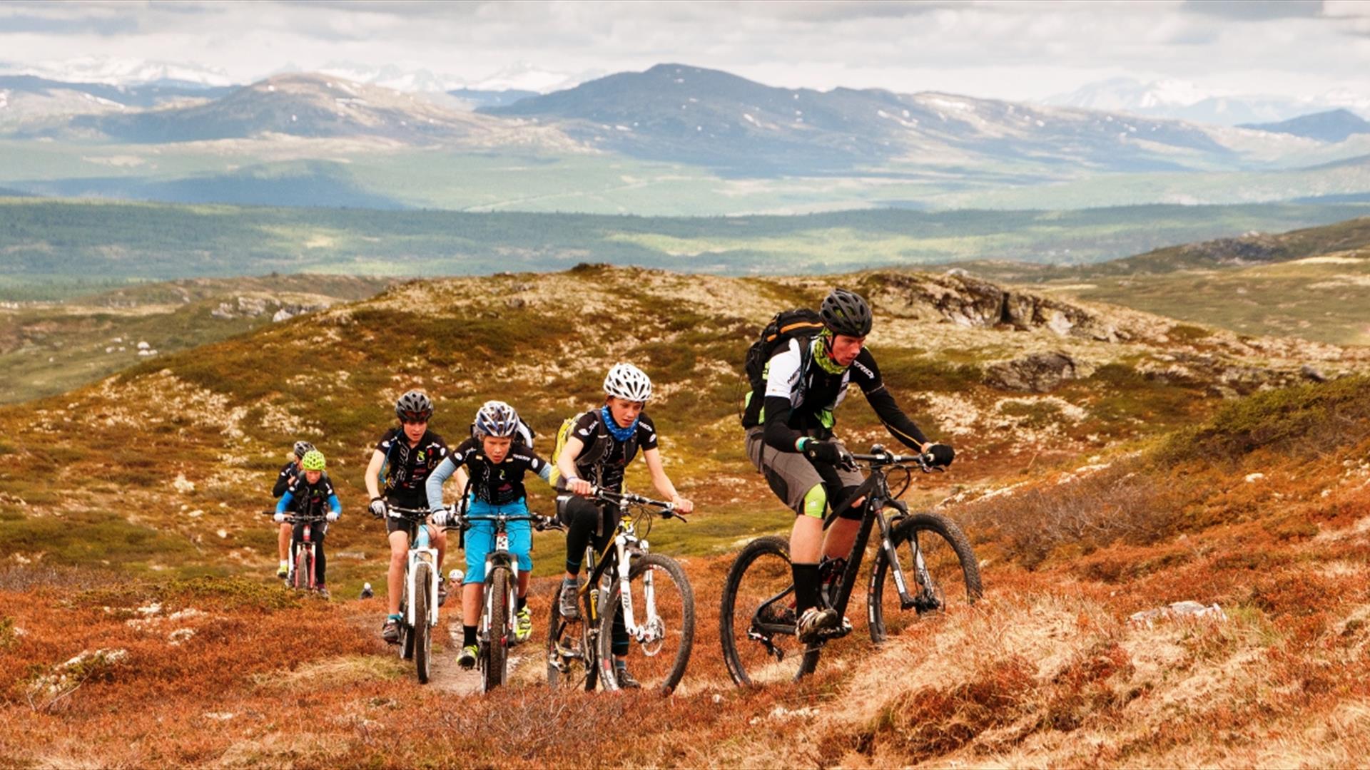
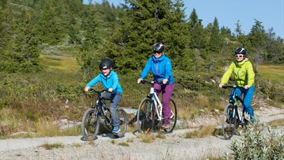
The Skeikampen Rundt trail is about 12 km long, over gently sloping terrain. The trail shows the different sides of Skei, from forest and bare rock to the highest point, with fantastic views of the mountain wilds. From here you can see Jotunheimen in the far north-west and Rondane to the north. The white peaks clearly stand out from the rest.
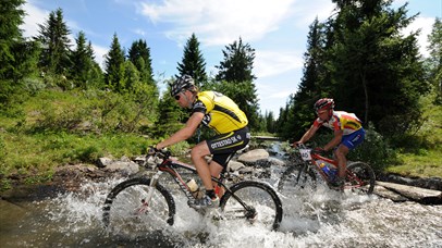
Medium to hard route, technical and hard tracks waiting for you. Some parts are wet and goes over some marches.
Follow the gravel road up towards Skeikampen and turn left where the road splits. Follow the road to Skei Fjellkirke and go up to this mountain church. Take the path that runs north-west from here. This is part of the orange trail that runs around the mountain. As the path begins to climb a little, so the terrain also changes. The bushes and trees become lower and denser and there are good views of various lovely peaks. You may meet walkers and horse riders here, as this is a popular bridle path. And so begins the climb, enough to warm you up.
At the top, we are now about 1,050 metres up, with great views of two different sides to Skeikampen.
To the north lie the mountain wilds, thickets and snow, while to the south lie forest, fields and mountain pastureland.
Directly below you’ll see Torsdalen, with its heart-shaped lake. Follow the path south, but instead of heading for the summit, take the path that runs along the side of the mountain.
You’ll have the steep mountain slope on your right and as you go long you’ll see parts of Norway’s highest 18-hole golf course on your left. You’ll also see “the pass”, a popular off-piste area for the winter’s most adventurous skiers. Now you’re approaching Skei, and you’ll soon start to see buildings again.
Facilities
Activities
- bicycle tours
Distance
- length in km - 12,6 km
Grading
- medium
- challenging
Hire
- bicycles
Nature and terrain
- gravel
- major pathway
- mountainous terrain
- small path
- total ascent - 386 m
Season
- June - October
Sports activities
- bicycle route
- bike trails
- not illuminated trail
.png)
.png)


