About
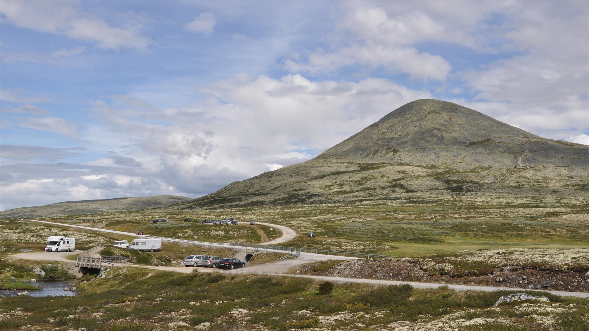
Follow E6 to Frya, then drive for 24km on road 27, past Venabu and to the highest point on the mountain pass 1054 metres asl. to the foot of Muen. Plenty of parking available, and a well marked path on the south side of the mountain that leads all the way to the top. The height difference is close to 400 metres, with some loose gravel the first part of the hike, followed by rocks that makes the path go in turns all the way to the top. There is a great view from the top, and one will find a lot of cairns ("varder") built by hikers. These were used in the old days to mark the top of a mountain, or as a sign to mark a route. Walk down the same way, as the north side Muen is very steep. Estimate about one hour to get to the top, and a little less to walk down again. The distance from road 27 is about 2km. The hike is great for families with children over the age of 5. For the youngest children it is better to walk to the top of Bølhøgda, on the other side of road 27. Do not walk to fast with children, make them feel comfortable and make sure you bring enough water to drink.
The hike is described in the book "50 recommended hikes in Gudbrandsdalen" by Frank Ivar Hansen (2011, in Norwegian):
Muen (1424m asl.) is the best known mountain summit at Venabygdsfjellet, and is visited by thousands of hikers every year. The summit has a characteristic shape, and can be seen throughout almost the entire area. The first part of the hike has a steady rise, in a landscape dominated by different types of lichen and dwarf birch, with elements of Norwegian mountain cranberry, crowberry, blue heather, and types of salix. The flora will be less varied the closer you get to the top. The last meters to the top consists of rocks with a lot of different types of lichen. Like the rest of Venabygdsfjellet, the lichen that looks like a map dominates the parts of the mountain that are exposed to rough weather.
At the top of Muen there is a great amount of cairns in different sizes, built by hikers throughout the years. There is a wonderful view to Rondane, Venabygdsfjellet and Alvdal Vestfjell with the characteristic Atnsølen (1827m asl.) which stands out majestically with its pyramid shape. If the weather is good, it is possible to see all the way to Jotunheimen in the west. In the southeast towards Rendalen, the Rendalssølen (1755m asl.) can be seen in the horizon.
.png)
.png)


