About
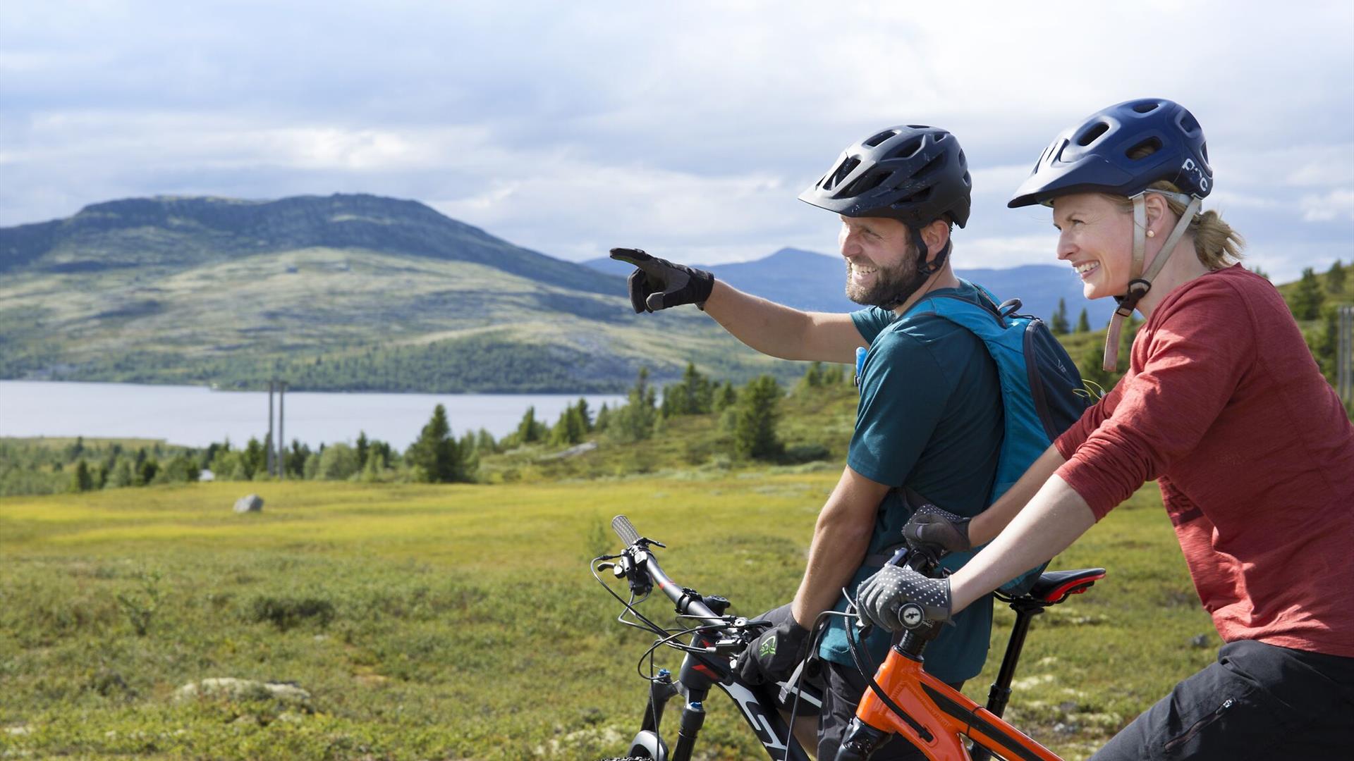
The trip to Svartfjell offers spectacular scenery with mountains, lakes and views of Rondane, and the route leads through the beautiful Venabygdsfjellet landscape. There are dirt-roads to and from the foot of Svartfjell. Trail riding in partly technical and hilly terrain around Svartfjell. The view from the top of Svartfjell is magnificent.
Start by Spidsbergseter. Follow Flaksjølivegen for 3 km until you reach the Svartfjellvegen junction. Turn right, and follow the road for 2 km to the foot of Svartfjell. Follow the trail running straight ahead and uphill for approx. 100 m. Then turn right onto the narrow trail leading past Svartfjellseter (where there are a lot of boulders, and you may have to walk). After the fence, the trail is once again ridable. Follow this without turning onto any other trails.
Most stretches are of good quality, but there are some muddy sections (be careful not to create new tracks in these areas; to protect nature, ride only where other people have been riding/walking before you). As you reach a small elevation in the terrain and have Rondane in direct view, you have an excellent downhill flow trail to look forward to. The route then continues up and down some lovely, dry “hills”. If you stop and look back towards Svartfjell, you will see the trail that lies ahead. After the final hill, you will reach a birch forest where you cross a stream. A muddy stretch then lies ahead. Follow the trail leading straight up to the left; but be careful, it is not easy to spot. From here there is a long uphill stretch, and most will have to walk some sections. The top of Svartfjell is a great spot to enjoy the view, have a bit to eat, and get your breath back before you embark on the most fun element of the trip – the downhill ride on the other side!
NB! Remember, Svartfjell is a popular hiking area. Hikers always have right of way.
The trail down from Svartfjell feature technical elements as well as plenty of flow. There are some drops and awkward passages, but most are ridable. At one section, everyone has to carry their bike – regardless of skill level. The trail leads all the way to Svartfjellvegen, and from here you return to the starting point along the same route as before.
Bicycle routes in the mountains are not way-marked, but there is a hiking map and you can also use the Stolpejakten app where you can see exactly here you are in the terrain.
Facilities
Duration
- 2 hours
Golf
- Length yellow tee - 15,9 km
Grading
- not marked
- expert
Intended audience
- Adults
Nature and terrain
- gravel
- mountainous terrain
- small path
Season
- June - October
Sports activities
- not illuminated trail
.png)
.png)


