To provide you with the best experience, cookies are used on this site. Find out more here.

Allow cookies

Trail around Skeikampen

Product Image
  • Product Image
  • Product Image

About

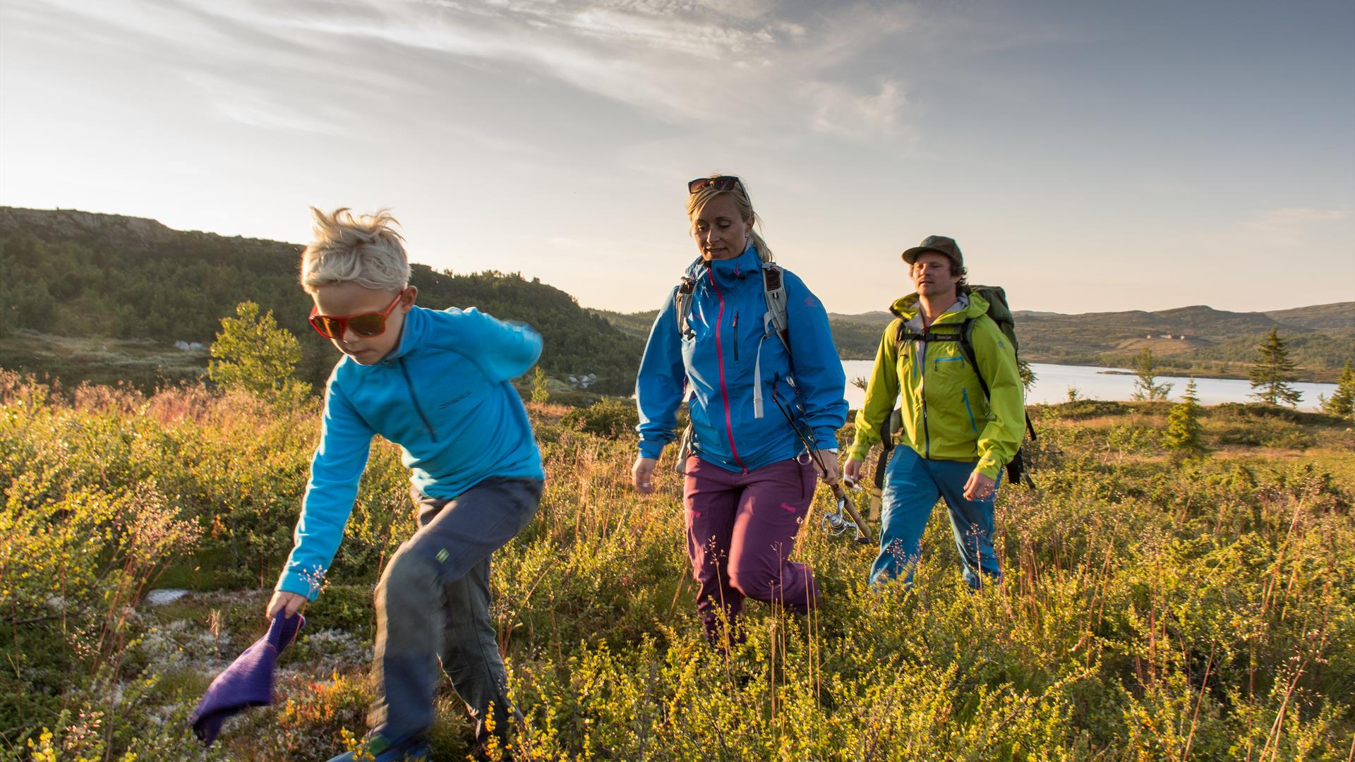
This great trail around Skeikampen shows the varied nature that it has to offer. The trail is suitable for most people. 

The Skeikampen Rundt trail is around 8 km long, over gently sloping terrain. The trail shows the different sides of Skei, from forest and bare rock, to the highest point with fantastic views of the mountain wilds. From here you can see Jotunheimen in the far north-west and Rondane to the north. The white peaks clearly stand out from the rest.

From the Velkomstsenter follow the gravel road up towards Skeikampen and turn left where the road splits. Follow the road to Skei Fjellkirke and go up to this mountain church. Take the path that runs north-west from here. This is part of the orange trail that runs around the mountain.

As the path begins to climb a little, so the terrain also changes. The bushes and trees become lower and denser and there are good views of various lovely peaks. You may meet cyclists and horse riders here, as this is a popular bridle path. And so begins the climb, not much, but enough to warm you up a bit. At the top, we are now about 1,050 metres up, with great views of two different sides to Skeikampen.

To the north lie the mountain wilds, thickets and snow, while to the south lie forest, fields and mountain pastureland. Directly below you’ll see Torsdalen, with its heart-shaped lake.

Follow the path south, but instead of heading for the summit, take the path that runs along the side of the mountain. You’ll have the steep mountain slope on your right and as you go long you’ll see parts of Norway’s highest 18-hole golf course on your left. You’ll also see “the pass”, a popular off-piste area for the winter’s most adventurous skiers. Now you’re approaching Skei, and you’ll soon start to see buildings again.

Facilities

Access

  • hiking trails - marked

Duration

  • 4 hours

Grading

  • marked trails with colour grading
  • medium

Nature and terrain

  • forest area
  • hiking area
  • lookout point
  • lookout point
  • mixed forest
  • mountain
  • mountainous terrain
  • view

Season

  • Autumn
  • Spring
  • Summer
  • may
  • june
  • july
  • august
  • september
  • october

Get in touch

Tel: 61 22 50 00

Skeikampen
2652 Svingvoll

Add Trail around Skeikampen to your Itinerary

What's Nearby

  1. The Rausjø round (24,5 km)

    Nice familyfriendly route in varied terrain and scenic surrounding.

    Skeikampen – Austlid…

    17 m away
  2. Peer Gynt Road

    Enter the mythical country of Peer Gynt and the kingdom of the trolls as you follow this…

    36 m away
  3. Ski School | Skeikampen

    Whether you want private lessons or together as a group, the ski school can provide…

    61 m away
  1. The Skeikampen Round (13 km)

    Beautiful trail leading from the forest to the high mountain and back. Excellent trip in…

    81 m away
  2. Skeikampen Alpine centre

    Skeikampen Alpine Centre offers 11 lifts and 21 slopes totaling 21 kilometers, with an…

    97 m away
  3. Bike ride from Skeikampen to Fagerhøi (13,5 km)

    The route goes to Fagerhøi along the Peer Gynt road and goes through the region over the…

    97 m away
  4. Trail to Kyrakampen and Knutsholoa

    A slightly longer trek to the summit of Kyrakampen that offers incredible views of…

    97 m away
  5. Biketrail - Skeikampen-Skardbua-Dørdalssætra (24,2 km)

    A medium advances route where you get to enjoy some of the best views Skeikampen has to…

    97 m away
  6. Biketrail - Skeikampen-Torsdalen-Gammeldalen (5 km)

    A beautiful bike ride for the whole family.

    97 m away
  7. Bike trail from Skeikampen to Skardbua (23,5 km)

    A technically demanding bicycle route in beautiful scenery, suitable for experienced…

    97 m away
  8. Bike trail from Skeikampen to Austlid Fjellstue (5 km)

    Family route from Skeikampen to Austlid.


    97 m away
  9. The top trail - Skeikampen

    Skeikampen, at 1123 metres above sea level, is not one of Norway’s highest mountains, but…

    97 m away
  10. Bike trail - Around Skeikampen (12,6 km)

    Medium to hard route starts at nice gravel road into
    Gammeldalen. The next hour you will…

    97 m away
  11. Kyrakampen (10,9 km)

    A blue trail where skiers can enjoy a varied and hilly terrain up to Kyrakampen with its…

    1.36 km away
  12. Skei-Vesleseter (6,8 km)

    Ideal trip for skiers enjoying gentle terrain and shelter from the wind. A slightly hilly…

    1.36 km away
  13. Bjørga Rundt (6,9 km)

    Roundtrip from Austlid Fjellstue and around the Bjørga peak. Varied scenery comprising…

    1.36 km away
Previous Next

Plan your trip

  • Things to Do
    Search

  • Accommodation
    Search

  • What's On
    Search

  • Food & Drink
    Search

Search Things to Do

Eco-certified providers
Type:
Location:
Location
Name / Keyword:

Search Accommodation

Eco-certified providers
Type:
Location:
Location
Name / Keyword:

Search What's On

Eco-certified providers
Type:
Location:
Location
Name / Keyword:
Dates

Search Eating & Drinking

Eco-certified providers
Type:
Location:
Location
Name / Keyword:

Plan your trip

Search Things to Do

Eco-certified providers
Type:
Location:
Location
Name / Keyword:

Search Accommodation

Eco-certified providers
Type:
Location:
Location
Name / Keyword:

Search What's On

Eco-certified providers
Type:
Location:
Location
Name / Keyword:
Dates

Search Eating & Drinking

Eco-certified providers
Type:
Location:
Location
Name / Keyword: