About
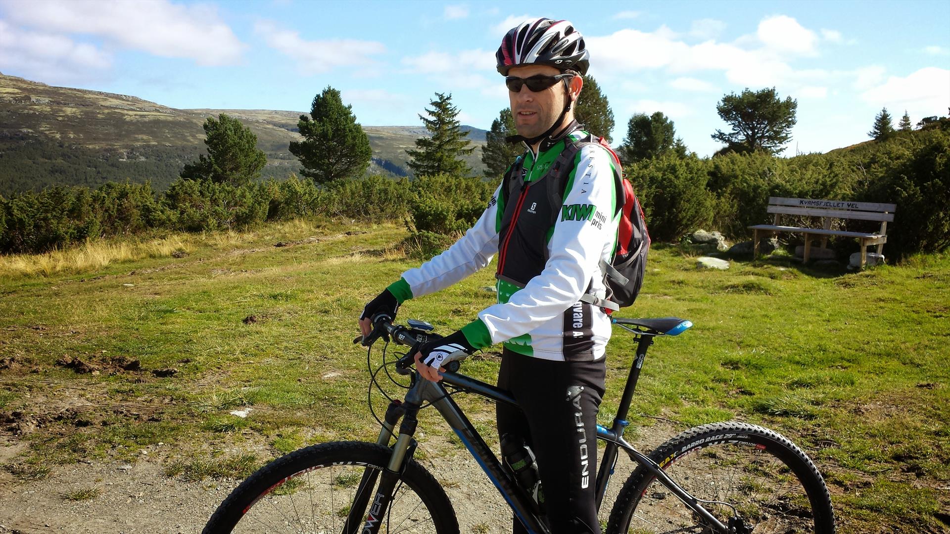
With Rondablikk as starting point, this trip is as spectacular by foot as it is by bike.
From Rondablikk, ride along Peer Gynt seterveg to Hovde. This is a high-quality dirt road, and has a small climb up to Hovde where the mountain scenery opens up. From here, you have spectacular views of Rondane, Furusjøen, and the other lakes in the area. Sit down, relax, and enjoy!
From Hovde, follow the signs for Luseby and Glitterdalen. Ride down to Furusjøen and across the bridge over Frya – a river that flows from lake Furusjøen and down the valley. You have now reached Frydalen conservation area, which forms part of Rondane National Park. Use of motor vehicles is prohibited, and the trip continues along old forest tracks.
Rondane National Park, established in 1962, is the country’s oldest of its kind, and covers an area of almost 1000 sq km. It has been home to the wild reindeer for thousands of years, and has currently a population of just below 4000 animals. There are some beautiful mountain farms and cabins along the way, and several of the farms have grazing animals in the area. Ride along the lake and into the forest which has a mix of coniferous and deciduous trees. As you reach the clearing, and the landscape changes to marshland and shrubs, you will find Sandviken featuring Furusjøen's only sandy beach – a popular spot for a refreshing mountain-lake swim. Further in, you will see Luseby with its cluster of mountain farms and cabins – and idyllic hamlet in a beautiful setting by the glimmering Furusjøen lake.
The trail continues around Furusjøen, and then turns right towards Glitterdalen by Luseby. You are now back in the forest, and are moving away from Furusjøen. As you reach river Glitra, you have several detour options; Ranglartjønn, Tjønnbakken, Tverrhaugen, and all the way to Rondvassbu where you have access to all ten of Rondane’s 2,000-metre peaks. A fascinating burial mound can be spotted along the trail, and close by you will find a hunting ground with pitfall traps probably dating back to the Iron Age. These are not signposted. (https://www.oppland.no/fagomrader/kulturarv/kulturarv-nyheter/kulturminner-i-fjellet-forteller.89112.aspx)
You have now reached Pungen, a mountain-farm area by Mysusæter, and are back on the Furusjøvegen dirt road. From here, you can take a detour to Mysusæter where you will find a shop and a café. Then follow the road back towards Elgsvika and Vassmillom. As you reach Elgsvika, you are back by lake Furusjøen. Continue along the trail to Vassmillom (meaning ‘between the lakes’), where you have lake Furusjøen on one side and lake Vålåsjøen on the other. Take a small detour by foot to the woodland shelter and campfire site at the idyllic Rauddyrodden by Furusjøen. In Vassmillom, follow the dirt road up to Haugsetra and back to Rondablikk. Remember to save some of your strength for the final climb up to Haugsetra. As the landscape once again opens up, you have most of the area that you have just been riding through in view. On the other side is Luseby, beautifully reflected in the glimmering Furusjøen.
In the background, Rondane towers over mountains and lakes, grazing animals, people, and nature – all in harmonious coexistence.
What more can you wish for?
Facilities
Access
- hiking trails - marked
Age limit
- adult
- children
Distance
- length in km - 18 km
Duration
- 3 hours
Grading
- medium
Nature and terrain
- cultural landscape
- forest area
- gravel
- lake
- mountain
- national park
- small path
Season
- June - October
Sports activities
- not illuminated trail
.png)
.png)


